One answer for a whole suburb is wrong at one end of it.
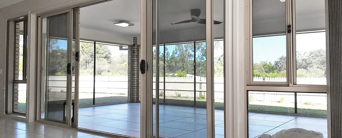
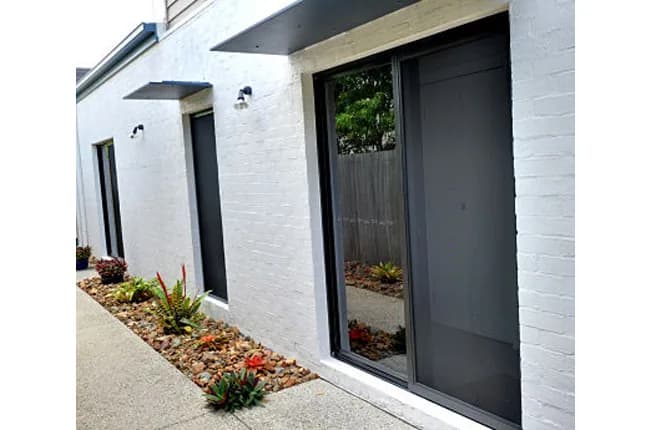
Measured against the official boundary, the closest point of Brinsmead lies 3.77 km from the mapped coastline, and the coastline at that point falls inside the Cairns North locality on the sheltered Trinity Bay foreshore rather than on an open surf beach. The centre of the locality is 5.50 km from the coast, and the nearest gazetted beach, Machans Beach, is 4.69 km from the closest edge and 6.67 km from the centre. The eastern edge of the locality and the middle of it are not the same distance from the water, and that gap is why one answer cannot serve both. So the question is asked of the address rather than of the postcode, and then of the opening: which way it faces, how high on the block it sits and what reaches it are site facts, and a suburb name carries none of them. We settle the range at the measure, against the opening in front of us, and everything is made to measure rather than pulled from a stock size.